

Travels & Journey
Lorem ipsum is placeholder text commonly used in the graphic, print, and publishing industries for previewing layouts and visual mockups.
-
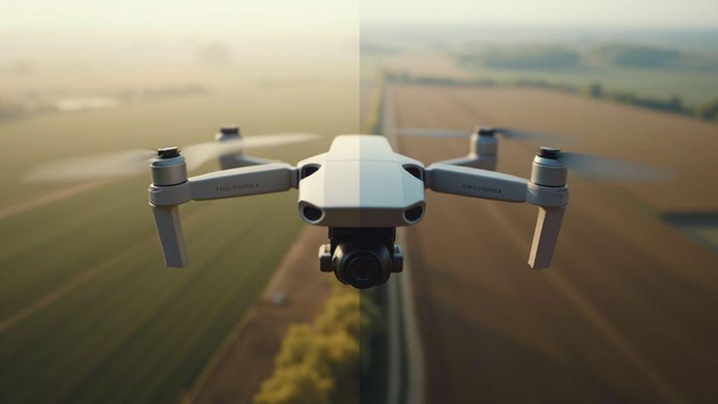
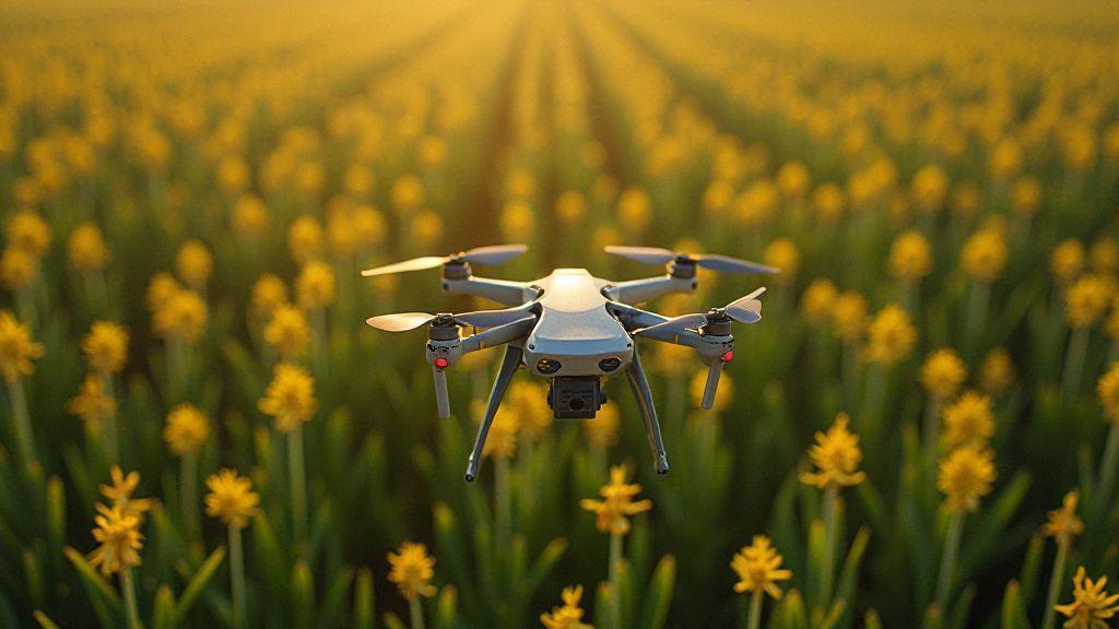
Camera Resolution and GSD: How to Choose the Right Camera for Your Application
Camera Resolution and GSD: How to Choose the Right Camera for Your Application, find which specs matter most and pick…
-
 Problem Detection (Diseases, Pests, Nutritional Deficiencies), Technical Applications in Precision Agriculture
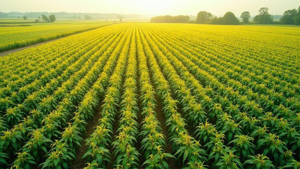
Soybean Rust: Early Detection with Aerial Images and Spectral Indices
Soybean Rust: Early Detection with Aerial Images and Spectral Indices reveals a simple drone method to spot disease early—discover how…
-
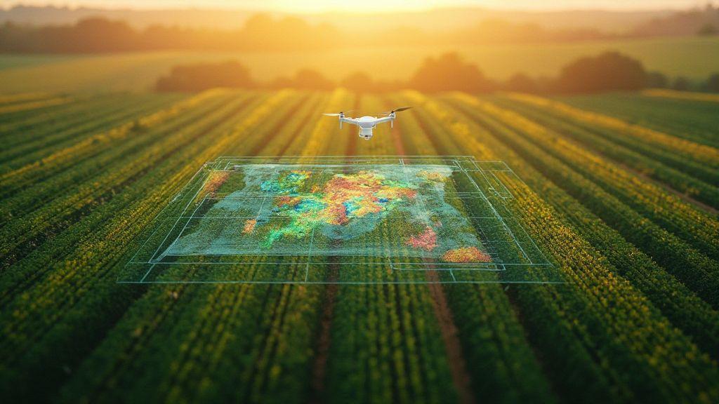
Pix4Dfields: Software Optimization for Precision Agriculture
Curious how drones and AI cut costs and boost yields? Pix4Dfields: Software Optimization for Precision Agriculture reveals easy ways to…
-
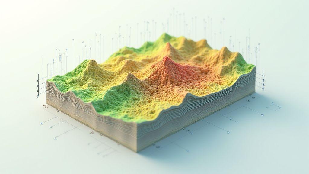
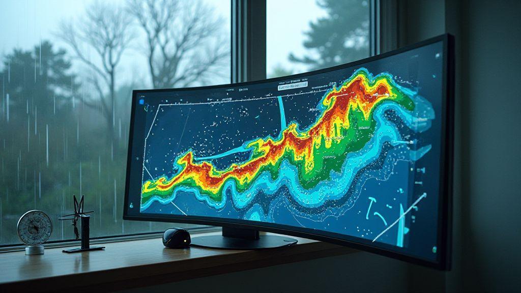
Correlation Between Topography and Productivity: Spatial Data Analysis
Discover surprising clues in Correlation Between Topography and Productivity: Spatial Data Analysis and learn how land shape can raise or…
-
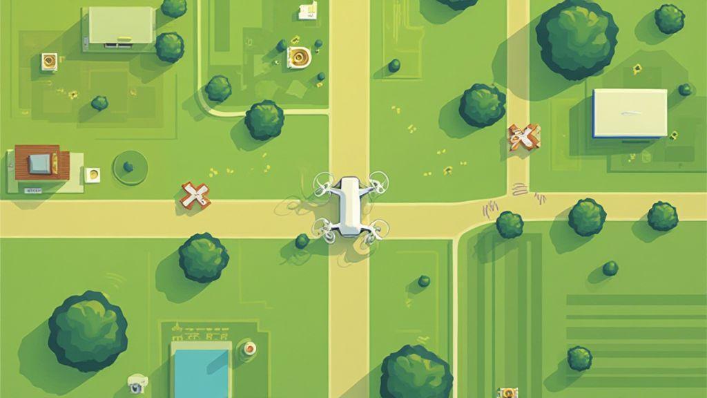
Image Overlap: Why 80% Front and Side Overlap Is Important
Image Overlap: Why 80% Front and Side Overlap Is Important, discover surprising flight planning tips and common mistakes that could…
-
Photogrammetry Explained: From Concept to Practice in Aerial Mapping
Photogrammetry Explained: From Concept to Practice in Aerial Mapping reveals simple steps, surprising uses, and quick tips to start mapping…
Most Recent Articles
Lorem ipsum is placeholder text commonly used in the graphic, print, and publishing industries for previewing layouts and visual mockups.
-
 Mapping by Crop (Soybeans, Corn, Sugarcane, Coffee, Citrus), Technical Applications in Precision Agriculture
Drones in Coffee Orchards: Flight Protocol on Uneven Terrain
Drones in Coffee Orchards: Flight Protocol on Uneven Terrain reveals easy steps and secret tips to fly safely on slopes…
-
 Generation of Cartographic Products (Orthomosaics, DSM, Point Cloud), Image Processing and Mapping Software
Digital Terrain Model (DTM): Differences with DSM and Use in Agricultural Planning
Digital Terrain Model (DTM): Differences with DSM and Use in Agricultural Planning – discover how maps reveal hidden slopes, water…
-
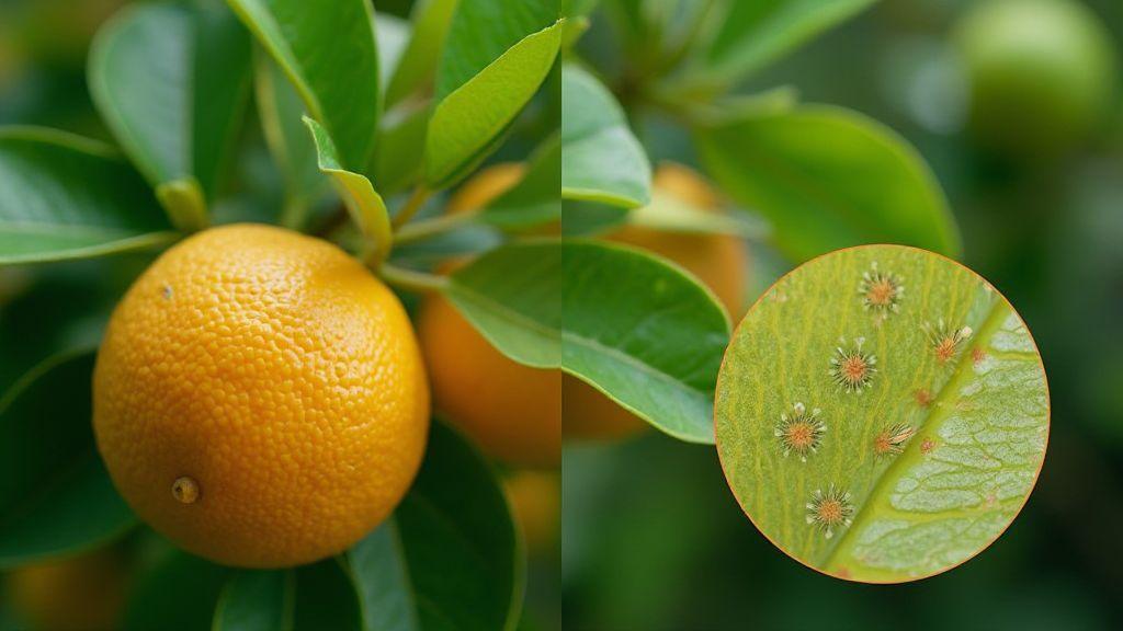 Problem Detection (Diseases, Pests, Nutritional Deficiencies), Technical Applications in Precision Agriculture
Citrus Greening: How to Identify Infected Plants Before Visual Symptoms Appear
Citrus Greening: How to Identify Infected Plants Before Visual Symptoms Appear Learn easy signs, simple tests and quick steps to…
-

Lens Distortion and Calibration: How to Correct Geometric Errors in Aerial Images
Learn why Lens Distortion and Calibration: How to Correct Geometric Errors in Aerial Images matters and the simple steps to…
-
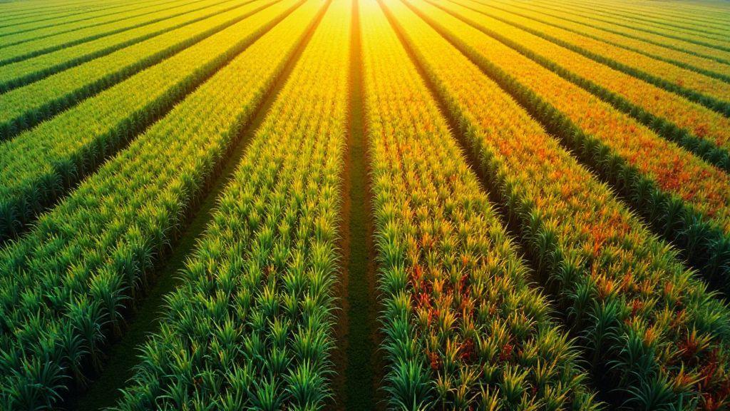
GSD (Ground Sampling Distance): How to Calculate and Optimize Spatial Resolution
Learn how small changes lift image detail with GSD (Ground Sampling Distance): How to Calculate and Optimize Spatial Resolution. Simple…
-
 Generation of Cartographic Products (Orthomosaics, DSM, Point Cloud), Image Processing and Mapping Software
Orthomosaic Explained: How Aerial Images Become Accurate Maps
Orthomosaic Explained: How Aerial Images Become Accurate Maps – see how drone photos are stitched into exact maps, key steps…
-
 Mapping by Crop (Soybeans, Corn, Sugarcane, Coffee, Citrus), Technical Applications in Precision Agriculture
Soybean Mapping with Drones: Ideal Flight Protocol and Data Interpretation
Curious how Soybean Mapping with Drones: Ideal Flight Protocol and Data Interpretation can cut field checks, spot problems early, and…
-
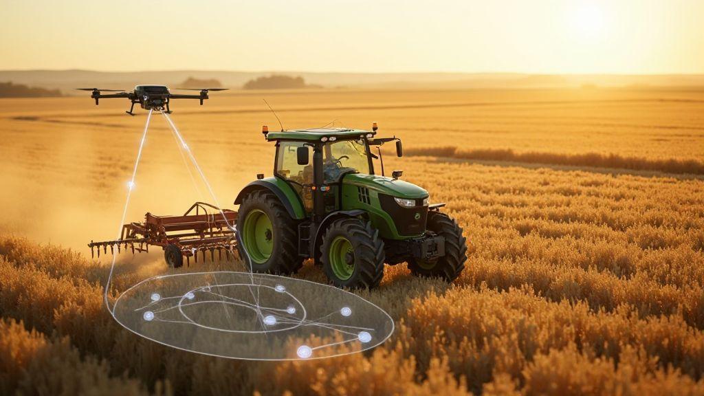
Thermal Sensors in Drones: Detecting Water Stress and Irrigation Problems
Thermal Sensors in Drones: Detecting Water Stress and Irrigation Problems reveals what signs drones spot and how they help save…