Lucas Fernandes Silva Fernandes Silva
-
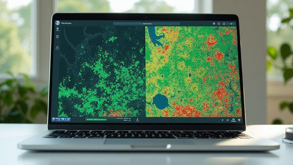
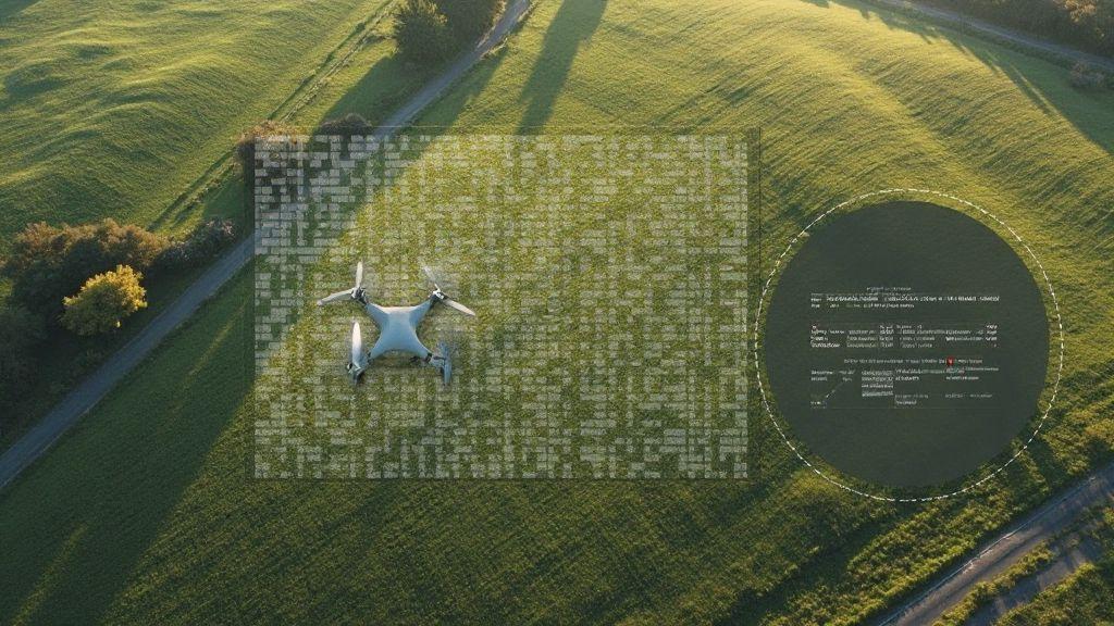
 Generation of Cartographic Products (Orthomosaics, DSM, Point Cloud), Image Processing and Mapping Software
Digital Terrain Model (DTM): Differences with DSM and Use in Agricultural Planning
Digital Terrain Model (DTM): Differences with DSM and Use in Agricultural Planning – discover how maps reveal hidden slopes, water…
-
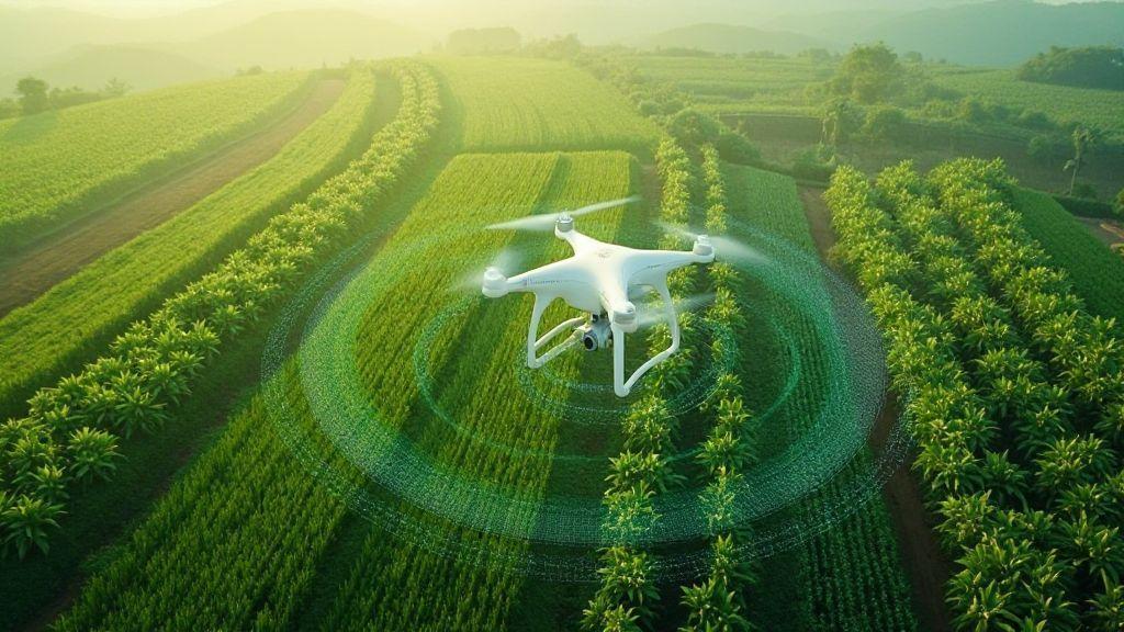
 Problem Detection (Diseases, Pests, Nutritional Deficiencies), Technical Applications in Precision Agriculture
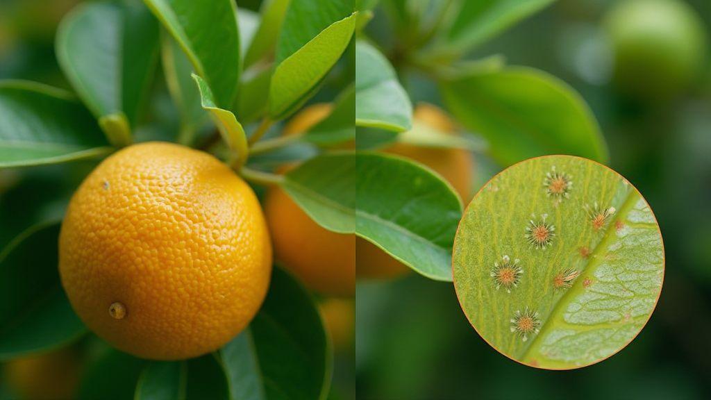
Citrus Greening: How to Identify Infected Plants Before Visual Symptoms Appear
Citrus Greening: How to Identify Infected Plants Before Visual Symptoms Appear Learn easy signs, simple tests and quick steps to…
-

Lens Distortion and Calibration: How to Correct Geometric Errors in Aerial Images
Learn why Lens Distortion and Calibration: How to Correct Geometric Errors in Aerial Images matters and the simple steps to…
-
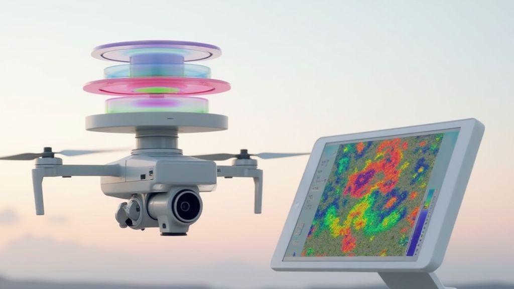
GSD (Ground Sampling Distance): How to Calculate and Optimize Spatial Resolution
Learn how small changes lift image detail with GSD (Ground Sampling Distance): How to Calculate and Optimize Spatial Resolution. Simple…
-
 Generation of Cartographic Products (Orthomosaics, DSM, Point Cloud), Image Processing and Mapping Software
Orthomosaic Explained: How Aerial Images Become Accurate Maps
Orthomosaic Explained: How Aerial Images Become Accurate Maps – see how drone photos are stitched into exact maps, key steps…
-
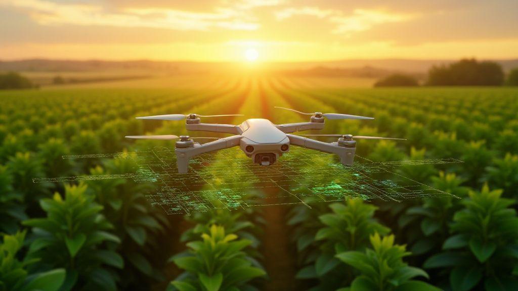 Mapping by Crop (Soybeans, Corn, Sugarcane, Coffee, Citrus), Technical Applications in Precision Agriculture
Soybean Mapping with Drones: Ideal Flight Protocol and Data Interpretation
Curious how Soybean Mapping with Drones: Ideal Flight Protocol and Data Interpretation can cut field checks, spot problems early, and…

Liyana Parker
Lorem ipsum dolor sit amet, consectetur adipiscing elit, sed do eiusmod tempor incididunt ut labore et dolore magna aliqua. Ut enim ad minim veniam, quis nostrud exercitation ullamco laboris nisi ut aliquip ex ea commodo consequat.