Image Processing and Mapping Software
-
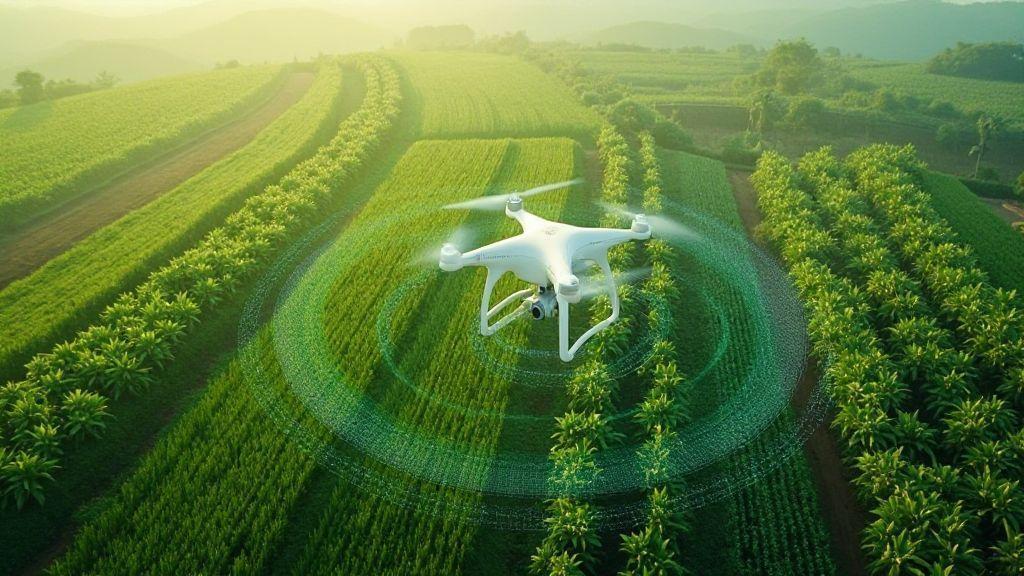
 Generation of Cartographic Products (Orthomosaics, DSM, Point Cloud), Image Processing and Mapping Software
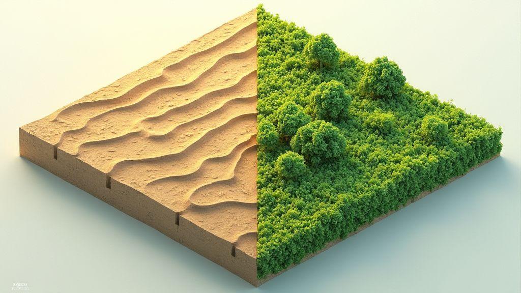
Digital Terrain Model (DTM): Differences with DSM and Use in Agricultural Planning
Digital Terrain Model (DTM): Differences with DSM and Use in Agricultural Planning – discover how maps reveal hidden slopes, water…
-
 Generation of Cartographic Products (Orthomosaics, DSM, Point Cloud), Image Processing and Mapping Software
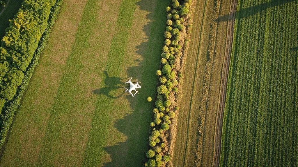
Orthomosaic Explained: How Aerial Images Become Accurate Maps
Orthomosaic Explained: How Aerial Images Become Accurate Maps – see how drone photos are stitched into exact maps, key steps…
-

DroneDeploy Interface: Complete Guide for Beginners in Aerial Mapping
Learn DroneDeploy Interface: Complete Guide for Beginners in Aerial Mapping and discover easy steps, smart tips, and tricks to map…
-
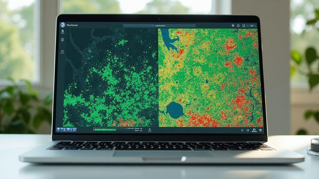
 Image Processing and Mapping Software, Spectral Indices and Vegetation Analysis (NDVI, GNDVI, SAVI, LAI)
LAI (Leaf Area Index): Estimating Leaf Area from Aerial Images
See how LAI (Leaf Area Index): Estimating Leaf Area from Aerial Images uncovers crop health from above and simple steps…
-
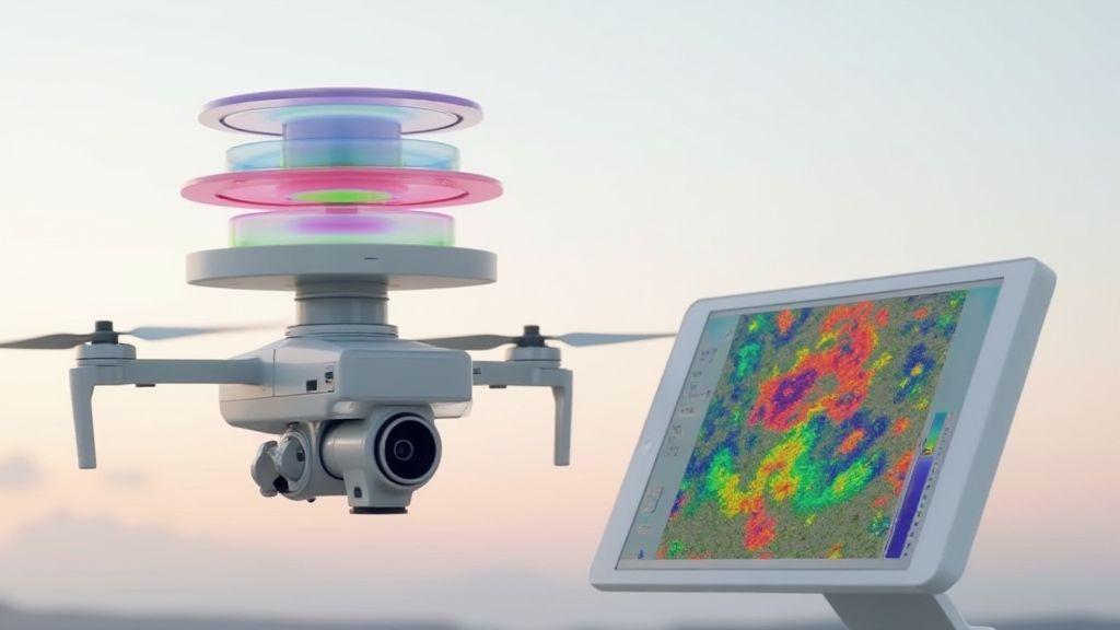
 Image Processing and Mapping Software, Spectral Indices and Vegetation Analysis (NDVI, GNDVI, SAVI, LAI)
NDVI Explained: Formula, Interpretation, and Application in Precision Agriculture
NDVI Explained: Formula, Interpretation, and Application in Precision Agriculture – discover simple ways to spot crop stress, boost yield, and…
-
 Image Processing and Mapping Software, Spectral Indices and Vegetation Analysis (NDVI, GNDVI, SAVI, LAI)
GNDVI vs NDVI: Which Index to Use for Nitrogen Detection in Plants?
GNDVI vs. NDVI: Which Index to Use for Nitrogen Detection in Plants? Learn which one finds low nitrogen first and…

Liyana Parker
Lorem ipsum dolor sit amet, consectetur adipiscing elit, sed do eiusmod tempor incididunt ut labore et dolore magna aliqua. Ut enim ad minim veniam, quis nostrud exercitation ullamco laboris nisi ut aliquip ex ea commodo consequat.