


Travels & Journey
Lorem ipsum is placeholder text commonly used in the graphic, print, and publishing industries for previewing layouts and visual mockups.
-
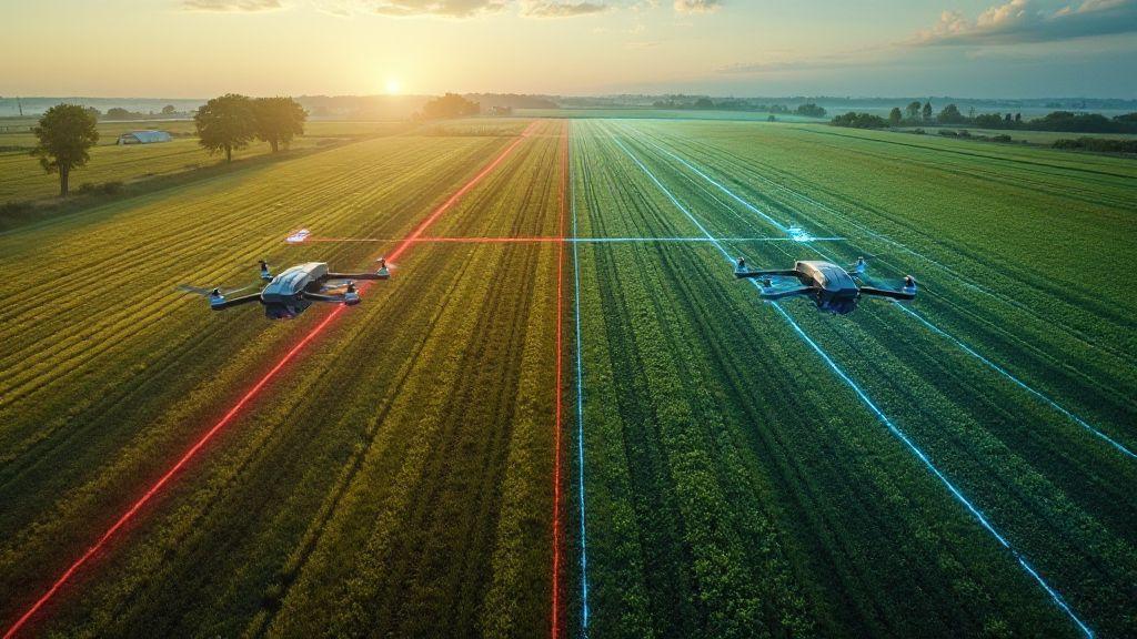
 Mapping by Crop (Soybeans, Corn, Sugarcane, Coffee, Citrus), Technical Applications in Precision Agriculture
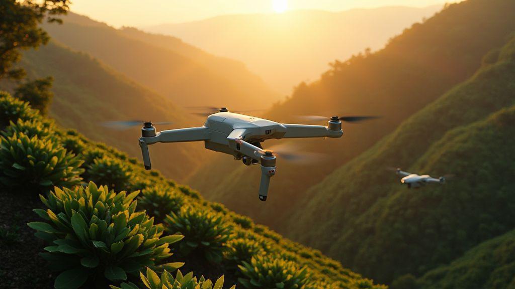
Drones in Coffee Orchards: Flight Protocol on Uneven Terrain
Drones in Coffee Orchards: Flight Protocol on Uneven Terrain reveals easy steps and secret tips to fly safely on slopes…
-
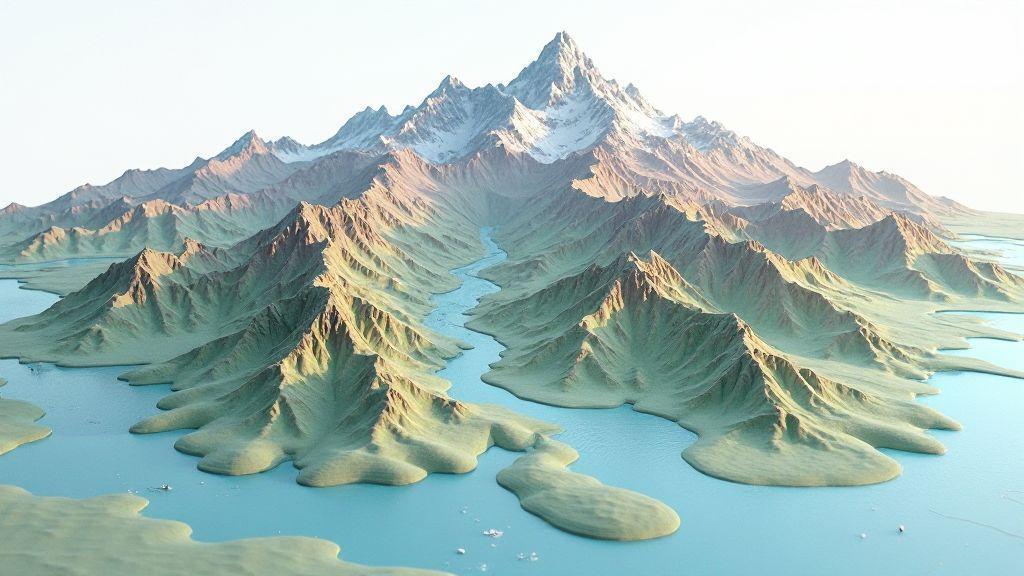
 Generation of Cartographic Products (Orthomosaics, DSM, Point Cloud), Image Processing and Mapping Software
Digital Terrain Model (DTM): Differences with DSM and Use in Agricultural Planning
Digital Terrain Model (DTM): Differences with DSM and Use in Agricultural Planning – discover how maps reveal hidden slopes, water…
-
 Problem Detection (Diseases, Pests, Nutritional Deficiencies), Technical Applications in Precision Agriculture
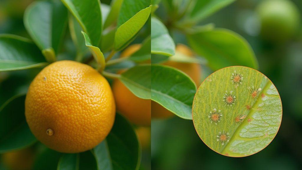
Citrus Greening: How to Identify Infected Plants Before Visual Symptoms Appear
Citrus Greening: How to Identify Infected Plants Before Visual Symptoms Appear Learn easy signs, simple tests and quick steps to…
-
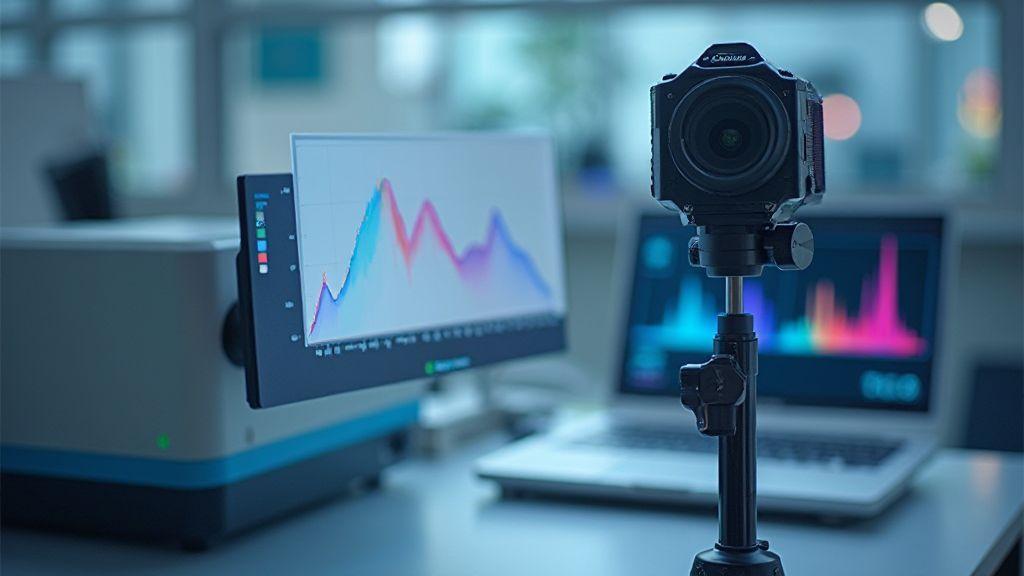
Lens Distortion and Calibration: How to Correct Geometric Errors in Aerial Images
Learn why Lens Distortion and Calibration: How to Correct Geometric Errors in Aerial Images matters and the simple steps to…
-
GSD (Ground Sampling Distance): How to Calculate and Optimize Spatial Resolution
Learn how small changes lift image detail with GSD (Ground Sampling Distance): How to Calculate and Optimize Spatial Resolution. Simple…
-
 Generation of Cartographic Products (Orthomosaics, DSM, Point Cloud), Image Processing and Mapping Software
Orthomosaic Explained: How Aerial Images Become Accurate Maps
Orthomosaic Explained: How Aerial Images Become Accurate Maps – see how drone photos are stitched into exact maps, key steps…
Most Recent Articles
Lorem ipsum is placeholder text commonly used in the graphic, print, and publishing industries for previewing layouts and visual mockups.
-

Mission Planning: Defining Waypoints, Altitude, and Flight Speed
Discover smart tricks in Mission Planning: Defining Waypoints, Altitude, and Flight Speed to improve routes, safety, and speed-what experts rarely…
-
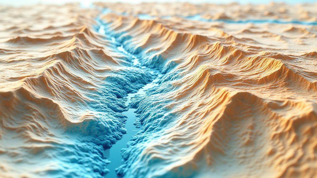
Drainage Analysis: Identification of Water Accumulation Areas with DSM
Drainage Analysis: Identification of Water Accumulation Areas with DSM reveals hidden flood spots using elevation models – learn how to…
-
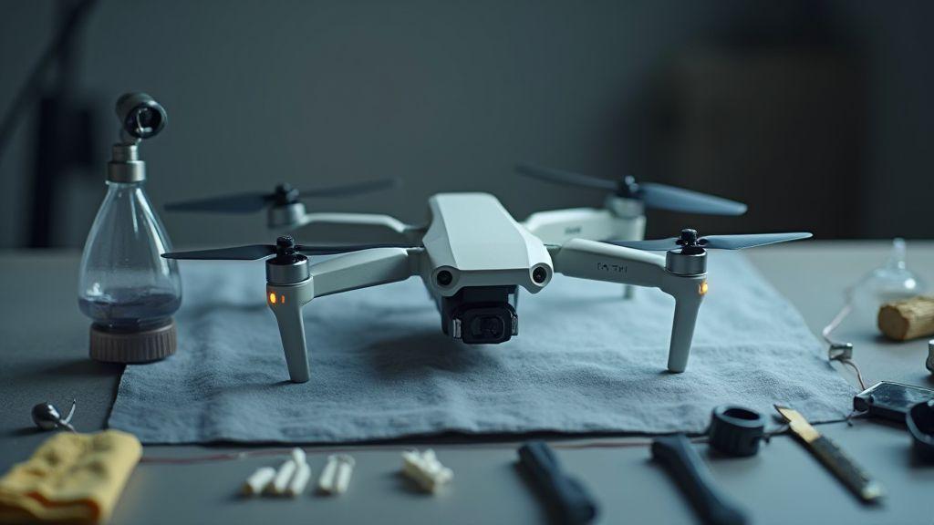
Drone Preventive Maintenance: Cleaning, Lubrication, and Regular Inspection
Learn easy steps in Drone Preventive Maintenance: Cleaning, Lubrication, and Regular Inspection to stop crashes, save money, and unlock pro…
-

DroneDeploy Interface: Complete Guide for Beginners in Aerial Mapping
Learn DroneDeploy Interface: Complete Guide for Beginners in Aerial Mapping and discover easy steps, smart tips, and tricks to map…
-
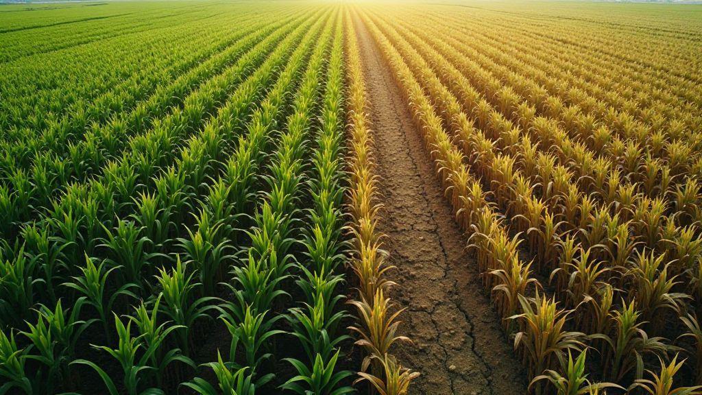 Mapping by Crop (Soybeans, Corn, Sugarcane, Coffee, Citrus), Technical Applications in Precision Agriculture
Corn Monitoring: Detection of Failures, Development, and Water Stress
Corn Monitoring: Detection of Failures, Development, and Water Stress reveals surprising signs in fields, learn how simple checks spot problems…
-
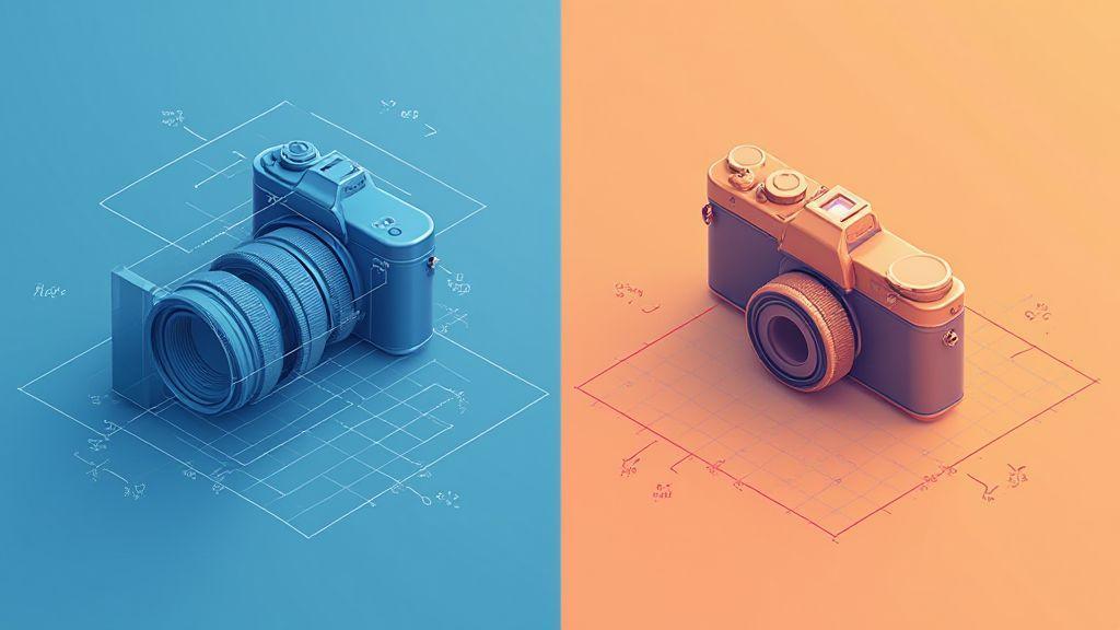
Internal Orientation vs External: Fundamental Concepts of Camera Calibration
Internal Orientation vs. External: Fundamental Concepts of Camera Calibration uncovers why shots wobble and how to fix them fast.
-
Radiometric Calibration: Camera Adjustment for Precise Spectral Data
Radiometric Calibration: Camera Adjustment for Precise Spectral Data reveals simple steps and hidden tips photographers and scientists rarely share.
-
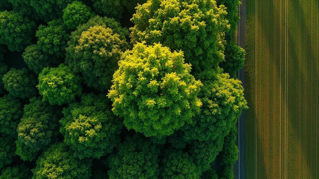 Image Processing and Mapping Software, Spectral Indices and Vegetation Analysis (NDVI, GNDVI, SAVI, LAI)
LAI (Leaf Area Index): Estimating Leaf Area from Aerial Images
See how LAI (Leaf Area Index): Estimating Leaf Area from Aerial Images uncovers crop health from above and simple steps…