
Travels & Journey
Lorem ipsum is placeholder text commonly used in the graphic, print, and publishing industries for previewing layouts and visual mockups.
-
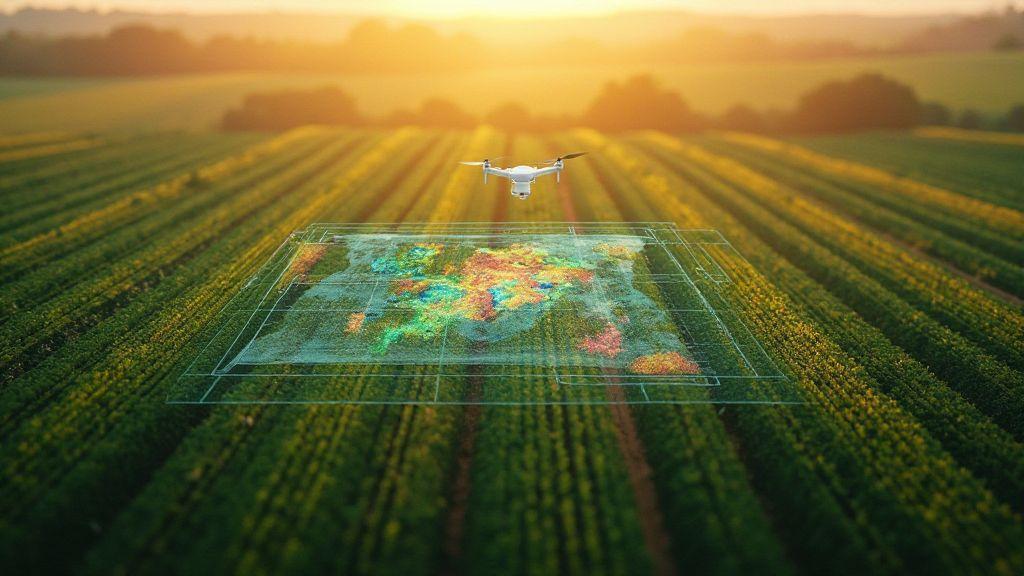
 Mapping by Crop (Soybeans, Corn, Sugarcane, Coffee, Citrus), Technical Applications in Precision Agriculture
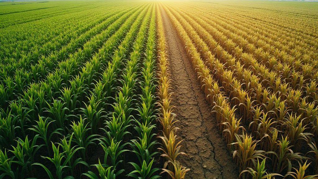
Corn Monitoring: Detection of Failures, Development, and Water Stress
Corn Monitoring: Detection of Failures, Development, and Water Stress reveals surprising signs in fields, learn how simple checks spot problems…
-
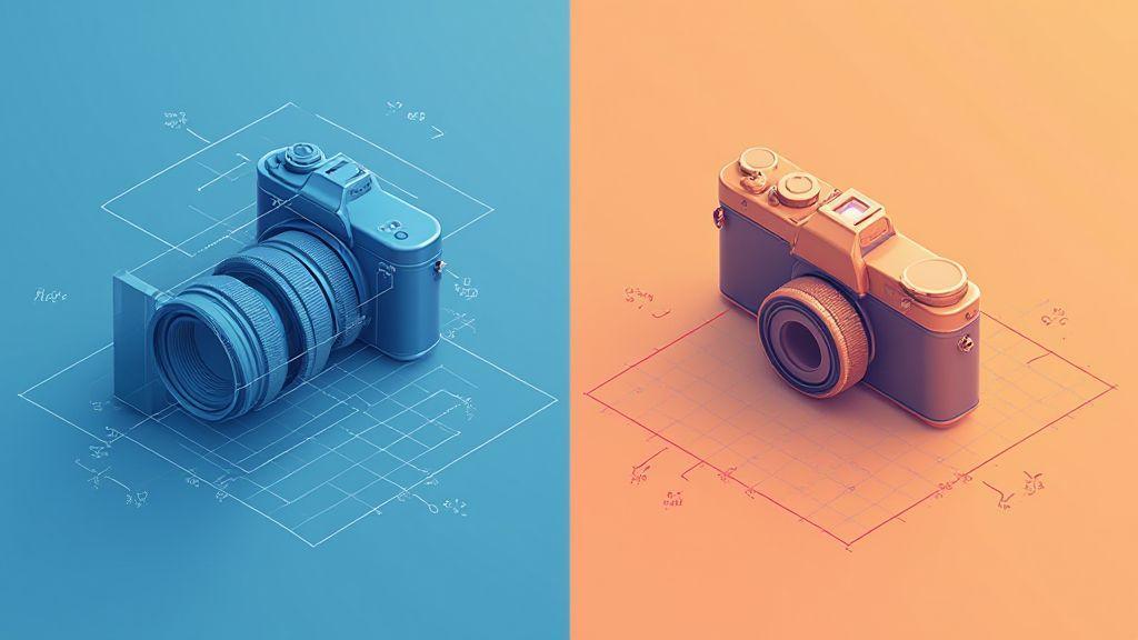
Internal Orientation vs External: Fundamental Concepts of Camera Calibration
Internal Orientation vs. External: Fundamental Concepts of Camera Calibration uncovers why shots wobble and how to fix them fast.
-

Radiometric Calibration: Camera Adjustment for Precise Spectral Data
Radiometric Calibration: Camera Adjustment for Precise Spectral Data reveals simple steps and hidden tips photographers and scientists rarely share.
-
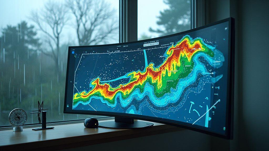
 Image Processing and Mapping Software, Spectral Indices and Vegetation Analysis (NDVI, GNDVI, SAVI, LAI)
LAI (Leaf Area Index): Estimating Leaf Area from Aerial Images
See how LAI (Leaf Area Index): Estimating Leaf Area from Aerial Images uncovers crop health from above and simple steps…
-
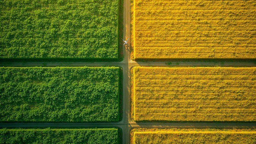 Image Processing and Mapping Software, Spectral Indices and Vegetation Analysis (NDVI, GNDVI, SAVI, LAI)
NDVI Explained: Formula, Interpretation, and Application in Precision Agriculture
NDVI Explained: Formula, Interpretation, and Application in Precision Agriculture – discover simple ways to spot crop stress, boost yield, and…
-
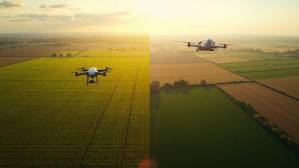
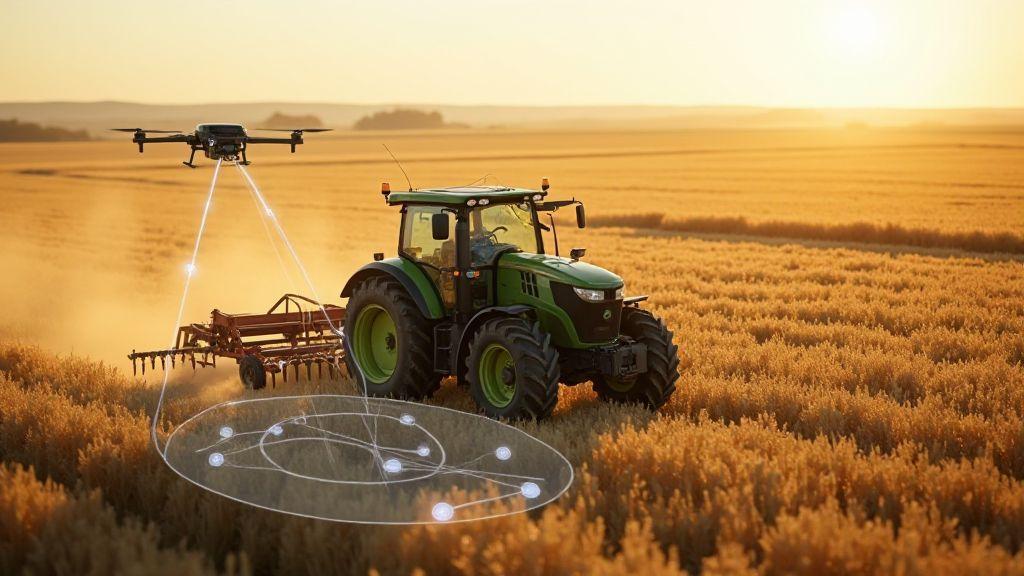
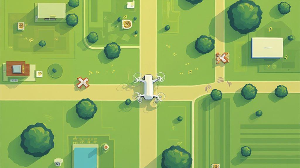
Multirotors vs Fixed-Wing: Which Drone to Choose for Agricultural Mapping?
Multirotors vs. Fixed-Wing: Which Drone to Choose for Agricultural Mapping? Find which fits your farm, saves time, and finds crop…
Most Recent Articles
Lorem ipsum is placeholder text commonly used in the graphic, print, and publishing industries for previewing layouts and visual mockups.
-
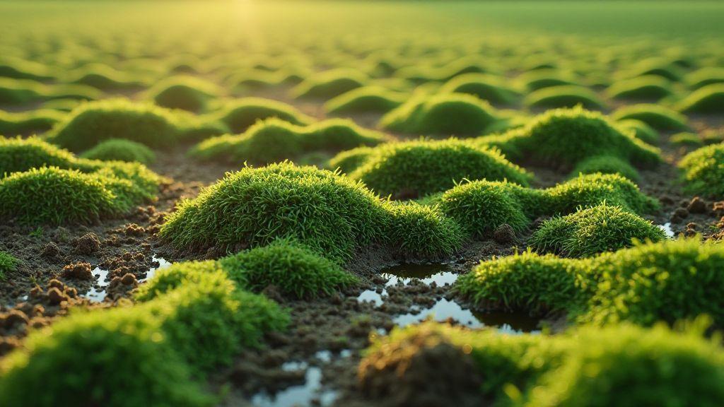
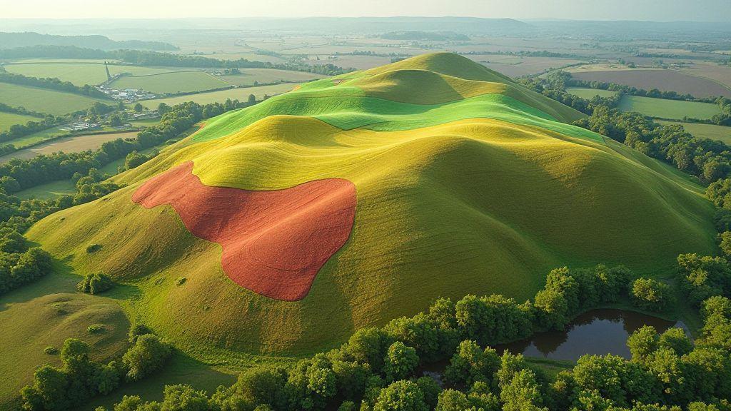
Microtopography: How Small Variations in Relief Affect Productivity
Microtopography: How Small Variations in Relief Affect Productivity – see how tiny bumps and dips change crop yields and why…
-
 Image Processing and Mapping Software, Spectral Indices and Vegetation Analysis (NDVI, GNDVI, SAVI, LAI)
SAVI (Soil-Adjusted Vegetation Index): Correcting Soil Influence in Images
Discover how SAVI (Soil-Adjusted Vegetation Index): Correcting Soil Influence in Images reveals hidden plant signals and fixes soil bias in…
-
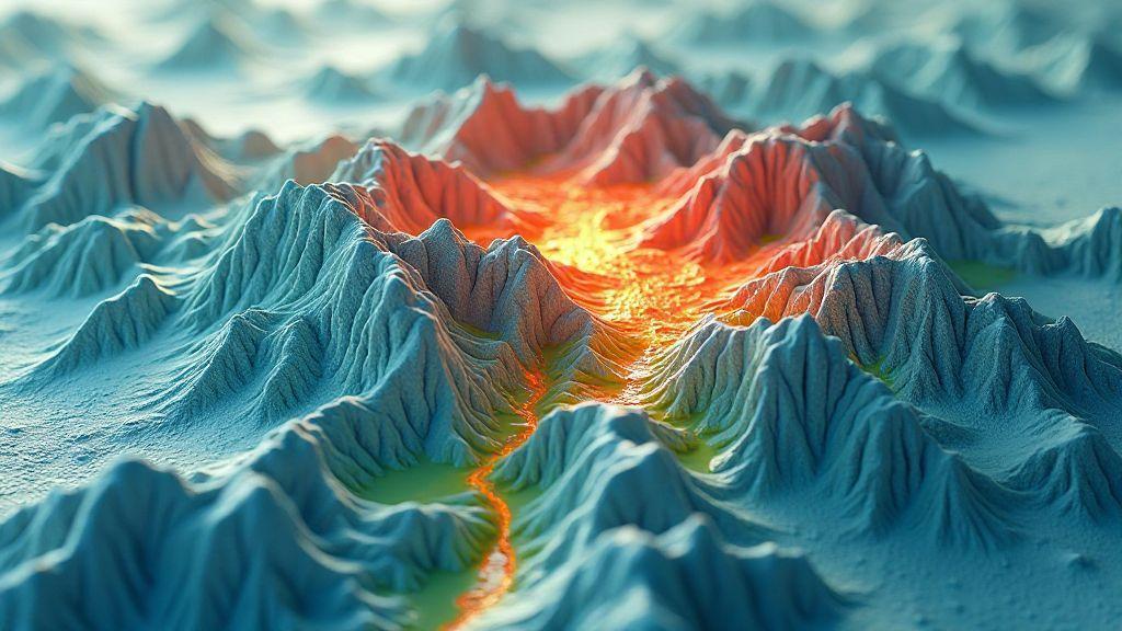
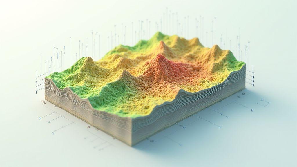
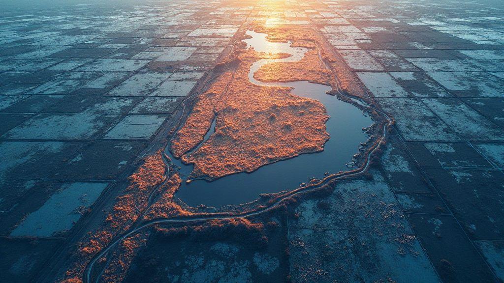
Digital Elevation Model: Relief Analysis and Identification of Critical Areas
Explore maps and find hidden threats using Digital Elevation Model: Relief Analysis and Identification of Critical Areas — what critical…
-
 Problem Detection (Diseases, Pests, Nutritional Deficiencies), Technical Applications in Precision Agriculture
Powdery Mildew in Crops: Visual Patterns and Spectral Signature in Aerial Mapping
See from above: Powdery Mildew in Crops: Visual Patterns and Spectral Signature in Aerial Mapping – spot early signs fast
-
Slope Map: Conservation Planning and Erosion Management
Slope Map: Conservation Planning and Erosion Management reveals hidden risk zones and simple fixes to protect land, discover which slopes…
-
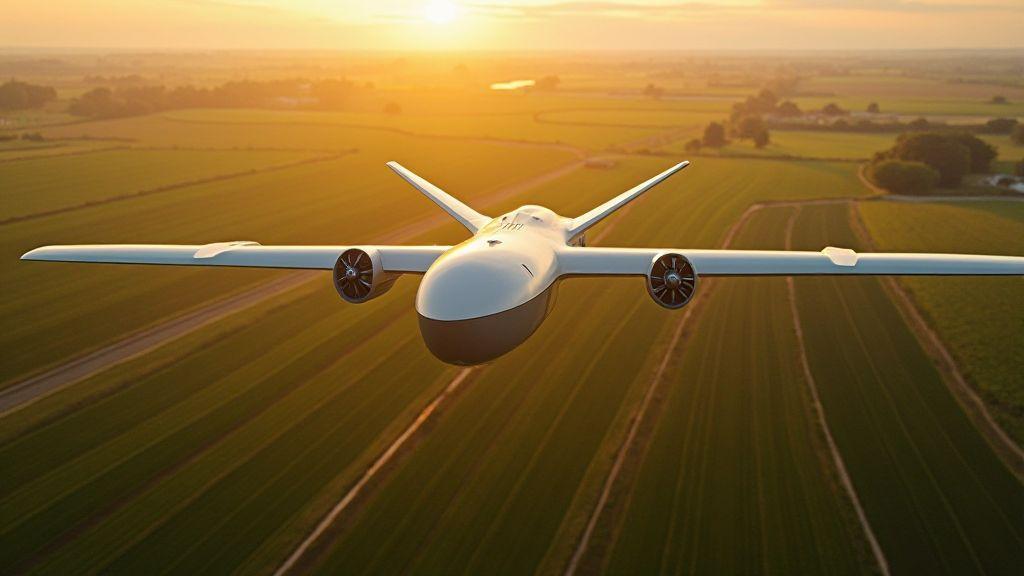
Hybrid Drones for Agriculture: The Revolution Between Multirotors and Fixed-Wing
Curious how Hybrid Drones for Agriculture: The Revolution Between Multirotors and Fixed-Wing blend speed and hover to boost yields? Discover…
-
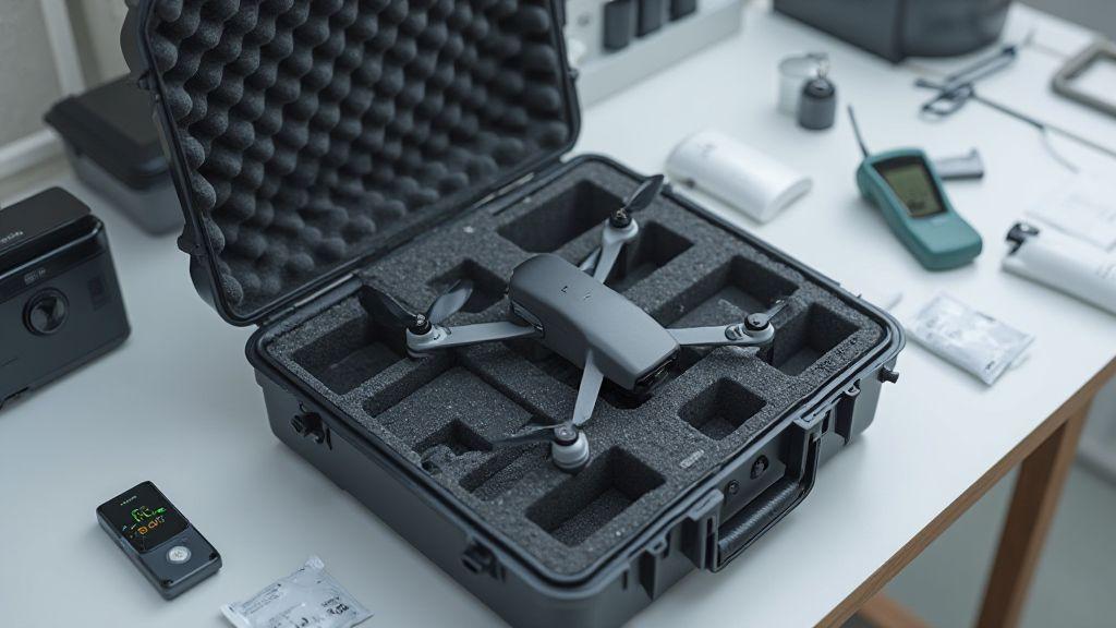
Proper Storage: Ideal Conditions for Drone, Battery, and Sensors
Learn how Proper Storage: Ideal Conditions for Drone, Battery, and Sensors can extend life, prevent failures, and reveal simple tips…
-
 Generation of Cartographic Products (Orthomosaics, DSM, Point Cloud), Image Processing and Mapping Software
Image Mosaic: Blending Techniques and Radiometric Correction
Image Mosaic: Blending Techniques and Radiometric Correction shows easy steps and neat tricks to hide seams, match tones, and make…